Nous utilisons des cookies pour améliorer votre expérience. Pour nous conformer à la nouvelle directive sur la vie privée, nous devons demander votre consentement à l’utilisation de ces cookies. En savoir plus.

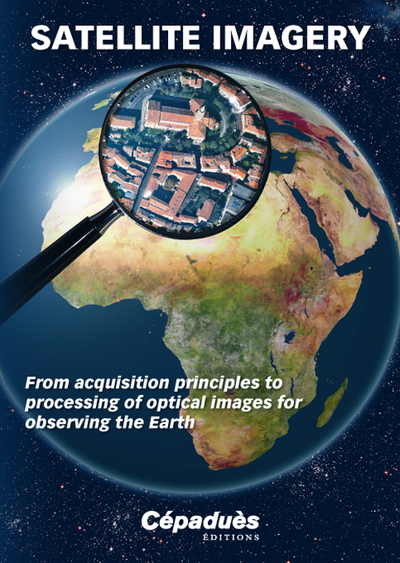
Satellite Imagery From acquisition principles to processing of optical images for observing the Eart
Cepadues - EAN : 9782364930360
Édition papier
EAN : 9782364930360
Paru le : 18 oct. 2012
66,00 €
62,56 €
Disponible
Pour connaître votre prix et commander, identifiez-vous
Notre engagement qualité
-
 Livraison gratuite
en France sans minimum
de commande -
 Manquants maintenus
en commande
automatiquement -
 Un interlocuteur
unique pour toutes
vos commandes -
 Toutes les licences
numériques du marché
au tarif éditeur -
 Assistance téléphonique
personalisée sur le
numérique -
 Service client
Du Lundi au vendredi
de 9h à 18h
- EAN13 : 9782364930360
- Réf. fournisseur : 1036
- Editeur : Cepadues
- Date Parution : 18 oct. 2012
- Disponibilite : Disponible
- Barème de remise : NS
- Nombre de pages : 492
- Format : H:240 mm L:170 mm E:28 mm
- Poids : 850gr
-
Résumé :
This book was written for students and engineers wishing to understand the basic principles behind the acquisition of optical imagery for Earth observation and the ways in which the quality of the images can be optimised.
Intended both for designers and downstream users, the book begins with a detailed explanation of the physical principles involved when a satellite acquires an optical image and then goes on to discuss image processing and its limits as well as the ultimate performance obtained.
It also covers in depth the problems to be solved when designing and dimensioning observation systems so that the reader can become familiar with the various processes implemented for acquiring an optical image.
The book describes a very wide range of subjects from fundamental physics (radiation, electronics, optics) to applied mathematics (frequency analysis), geometry and technological issues.
It draws on work done over many years by engineers from CNES (the French Space Agency), the IGN (the French National Geographic Institute) and ONERA (the French Aerospace Laboratory) in the field of satellite optical imagery.
Table des matières
I. INTRODUCTION
Philippe LIER (CNES), Christophe VALORGE (CNES)
II. IMAGE GEOMETRY
Jean Marc DELVIT (CNES), Daniel GRESLOU (CNES), Sylvia SYLVANDER (IGN), Christophe VALORGE (CNES)
III. RADIOMETRY
Alain BARDOUX (CNES), Xavier BRIOTTET (ONERA), Bertrand FOUGNIE (CNES), Patrice HENRY (CNES), Sophie LACHERADE (ONERA), Laurent LEBEGUE (CNES), Philippe LIER (CNES), Christophe MIESCH (ONERA), Françoise VIALLEFONT (ONERA)
IV. IMAGE RESOLUTION
Sébastien FOUREST (CNES), Philippe KUBIK (CNES), Christophe LATRY (CNES), Dominique LEGER (ONERA), Françoise VIALLEFONT (ONERA)
V. SYSTEM DIMENSIONING
Philippe KUBIK (CNES)
VI. IMAGE COMPRESSION
Catherine LAMBERT (CNES), Christophe LATRY (CNES), Gilles MOURY (CNES)
VII. IMAGE SIMULATION
Philippe LIER (CNES), Christophe VALORGE (CNES)
VIII. CONCLUSION
Philippe LIER (CNES)