Nous utilisons des cookies pour améliorer votre expérience. Pour nous conformer à la nouvelle directive sur la vie privée, nous devons demander votre consentement à l’utilisation de ces cookies. En savoir plus.
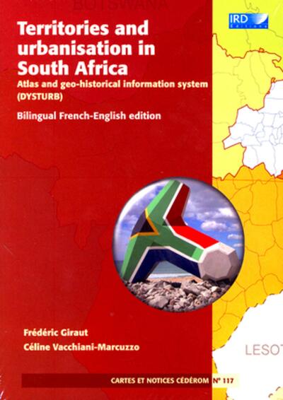
TERRITORIES AND URBANISATION IN SOUTH AFRICA - N 117 - ATLAS AND GEO-HISTORICAL INFORMATION SYSTEM.
IRD - EAN : 9782709916745
Édition papier
EAN : 9782709916745
Paru le : 3 mai 2011
30,00 €
25,00 €
Epuisé
Arrêt définitif de commercialisation
Notre engagement qualité
-
 Livraison gratuite
en France sans minimum
de commande -
 Manquants maintenus
en commande
automatiquement -
 Un interlocuteur
unique pour toutes
vos commandes -
 Toutes les licences
numériques du marché
au tarif éditeur -
 Assistance téléphonique
personalisée sur le
numérique -
 Service client
Du Lundi au vendredi
de 9h à 18h
- EAN13 : 9782709916745
- Réf. fournisseur : G01276
- Collection : ATLAS & CARTES
- Editeur : IRD
- Date Parution : 3 mai 2011
- Disponibilite : Epuisé
- Barème de remise : M
- Format : 1.50 x 15.30 x 21.30 cm
- Poids : 285gr
- Interdit de retour : Retour interdit
-
Résumé :
This CD-Rom is a commented edition of a geo-referenced database for one century of demographic and administrative follow-up of all localities, cities and territories in South Africa.
The DYSTURB database collates, harmonises and inter-relates over time the following different elements : a set of political, administrative and functional maps of the districts, provinces and urban areas ; the demographic and administrative data for all South African localities from 1911. In all, the 20 000 geo-referenced localities of the 2001 census are put in perspective in terms of spatio-temporal parameters, demographic history and urban dynamics, through the post-colonial, apartheid and post-apartheid periods.
Bilingual French-English edition
CD-ROM PC/MAC
Required configuration:
- Macintosh or PC
- Adobe Acrobat Reader installed